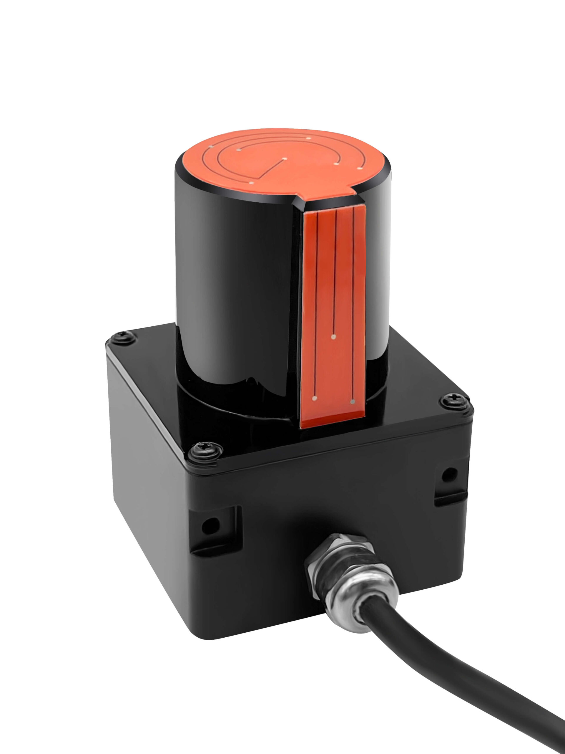
In robot navigation, LiDAR and camera technologies play pivotal roles, offering unique advantages and challenges in different scenarios. Understanding the differences between these two sensors is crucial for engineers, developers, and businesses designing robots that operate in diverse environments. In this blog, we’ll break down how LiDAR and cameras function, their respective benefits, and when one might be preferable over the other.

1. How LiDAR Works and Its Applications in Navigation
LiDAR (Light Detection and Ranging) is an active sensing technology that uses laser pulses to measure distances. A LiDAR sensor emits rapid laser pulses, and when these pulses hit objects in the environment, they bounce back to the sensor. By calculating the time taken for the pulse to return, LiDAR can map out precise distances to objects and obstacles, generating a highly detailed 3D map of the surroundings known as a “point cloud.”

This technology is widely used in robotics and autonomous vehicles because it provides accurate spatial data, even in challenging conditions. For example, in robot navigation, LiDAR offers:
- High-precision distance measurements
- Stable performance in low-light environments
- Strong resistance to environmental interferences like fog, light, and shadows
2. How Cameras Work and Their Role in Navigation
Cameras are passive sensors that capture light from the environment to create digital images. They excel in providing color, texture, and depth information, allowing for rich, detailed visual data. Camera-based vision systems use these images to identify objects, detect edges, and even recognize text, making them a versatile option for object identification and contextual understanding in navigation.
In robotic navigation, cameras enable:
- Detailed visual recognition of objects, such as reading signs or identifying obstacles
- High-resolution imaging for complex scene understanding
- Color perception, essential for recognizing signals, traffic signs, or specific objects
However, cameras are more susceptible to environmental challenges like low light, glare, and weather, which can impact image quality and sensor reliability.
3. Key Differences: LiDAR vs. Camera in Robot Navigation
| Feature | LiDAR | Camera |
|---|---|---|
| Data Type | 3D spatial data | 2D visual data (images) |
| Precision | High precision for distance measurement | High resolution for object details |
| Performance in Low Light | Unaffected by lighting conditions | Requires sufficient lighting |
| Environmental Interference | Minimal (performs well in various weather) | Susceptible to glare, rain, fog |
| Cost | Generally high | Lower, depending on camera type |
| Applications | Mapping, obstacle detection, environment modeling | Object recognition, lane detection |
4. Advantages and Disadvantages of LiDAR
Advantages:
- High accuracy and precision: LiDAR can measure distances with great accuracy, making it ideal for navigation in complex environments.
- Not dependent on ambient light: LiDAR performs well in the dark or dimly lit areas.
- Generates 3D data: Allows for precise spatial mapping and obstacle detection.
Disadvantages:
- Higher cost: LiDAR systems can be costly due to their advanced technology.
- Limited recognition ability: While it’s great at detecting shapes and objects, LiDAR lacks the detailed object recognition capability that cameras provide.
5. Advantages and Disadvantages of Cameras
Advantages:
- Detailed object recognition: Cameras can capture textures, colors, and even read text, allowing for detailed scene analysis.
- Lower cost: Standard cameras are relatively inexpensive compared to LiDAR.
- Better context understanding: Cameras can interpret signs, signals, and other visual cues.
Disadvantages:
- Dependent on light conditions: Performance can be hindered in low-light, glare, or high-contrast situations.
- Less precise for distance measurement: Cameras generally need additional processing to estimate depth accurately.
6. Real-World Application: Combining LiDAR and Cameras in Robotics
In many robotic systems, LiDAR and cameras are used together to combine the strengths of both technologies. For instance, in autonomous vehicles, LiDAR provides precise distance and shape data, while cameras enable object recognition and scene understanding. Together, they enhance safety, precision, and reliability.
7. Future Trends: Advancements in LiDAR and Camera Technologies
LiDAR is advancing toward solid-state designs that are smaller, cheaper, and more energy-efficient, making them more accessible for various applications. Meanwhile, cameras are benefiting from AI advancements in image processing and recognition, which will improve low-light performance and accuracy.
Conclusion: Choosing the Right Sensor for Robot Navigation
Both LiDAR and cameras offer unique benefits for robot navigation, but each has limitations. LiDAR excels in spatial accuracy, making it ideal for obstacle detection and mapping, while cameras provide rich visual details that are useful for object identification and contextual understanding. By using both, robots can navigate more intelligently and safely in complex environments. As technology continues to improve, these tools will become even more powerful, pushing the boundaries of what robots can achieve in navigation and beyond.


